Overview: Could geospatial analytics be the key to smarter security? Find out how this tech is transforming the way we detect and prevent threats. Read on!
In an era where security challenges are growing increasingly complex, traditional methods of surveillance and monitoring often fall short. This is where geospatial analytics step in — a cutting-edge approach that integrates geographic data with real-time analytics to provide a new layer of intelligence for security systems.
For businesses and organizations operating in regions like Highland, Redlands, and San Bernardino, where urban development and population density bring unique security challenges, geospatial analytics might just be the game changer you’ve been waiting for!
What Is Geospatial Analytics?
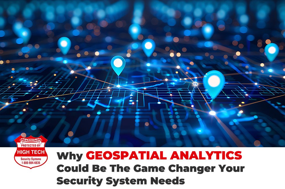
Geospatial analytics is the process of collecting, analyzing, and visualizing data tied to specific geographic locations. This involves integrating geographic information systems (GIS), satellite imagery, and data from sensors to create actionable insights.
Unlike conventional security systems that rely on isolated data points, geospatial analytics offers a holistic view by combining location data with patterns and trends. In areas like Mentone or East Highlands Ranch, where large open spaces meet residential zones, this approach is invaluable for enhancing situational awareness.
Real-Time Monitoring and Threat Detection
One of the standout features of geospatial analytics is its ability to monitor environments in real time. By leveraging data from cameras, sensors, and even drones, geospatial systems can identify unusual activities or patterns. For example, if a vehicle follows an erratic path near a sensitive facility in Colton or Yucaipa, the system can flag it as a potential threat and alert security personnel.
This level of precision minimizes false alarms and ensures that security teams focus on genuine risks. In high-stakes environments like government facilities in San Bernardino or critical infrastructure near Redlands, the value of real-time insights cannot be overstated.
>> Related Reading: How Geospatial Data Improves Cybersecurity
Predictive Capabilities
Geospatial analytics doesn’t just identify threats — it predicts them. By analyzing historical data and current trends, these systems can forecast potential vulnerabilities. For instance, during a large-scale event, geospatial analytics can highlight areas prone to crowding, enabling proactive deployment of resources to prevent incidents.
This predictive capability is especially crucial for businesses operating in high-crime areas or those with assets spread across large geographic regions. Anticipating risks allows for better allocation of resources and improved contingency planning.
Enhanced Perimeter Security
Perimeter security is one of the most critical aspects of any security strategy. Geospatial analytics enhances this by providing dynamic mapping and advanced surveillance techniques. Geospatial data integrated with motion sensors and thermal cameras helps security teams can detect breaches with unparalleled accuracy.
For example, a geospatial-enabled system can differentiate between wildlife and human movement near a perimeter, reducing unnecessary responses and improving efficiency. This makes it an ideal solution for securing remote facilities, large campuses, and even national borders.
Application Across Industries
The versatility of geospatial analytics makes it valuable across various sectors:
Corporate Security: Monitor office campuses and parking lots to ensure employee safety.
Retail: Track foot traffic patterns to improve in-store security and layout planning.
Transportation: Secure railways, airports, and shipping ports by detecting anomalies in movement.
Public Safety: Assist law enforcement in tracking criminal activities and planning interventions.
In Summary
As threats evolve, so must our methods of countering them. Geospatial analytics offers a transformative way to enhance security systems, combining the power of location intelligence with real-time data analysis. Whether you’re securing a single facility or managing a sprawling network of assets, geospatial analytics provides the tools to stay one step ahead.
Are you ready to redefine your approach to security? The future is here, and it’s geospatial.